

Research
Research and
Open Source
Active research in foundation models, vision-language systems, and geospatial intelligence informs Bexar’s technical advisory.
Publications
Advisory informed by experience publishing peer-reviewed research at leading conferences, journals, and workshops—including NeurIPS, CVPR, ICCV, ICLR, WACV, and more. Full publication list on Google Scholar ↗
Use Left and Right Arrow keys to browse papers, Home and End to jump to the ends, and Enter to open a paper.
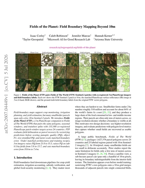 WACV · 2027
Fields of the Planet: Field Boundary Mapping Beyond 10m
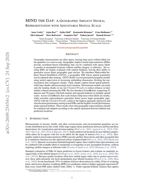 Preprint · 2026
MIND the Gap: A Geographic Implicit Neural Representation with Adjustable Spatial Scale
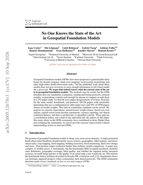 NeurIPS · 2026
No One Knows the State of the Art in Geospatial Foundation Models
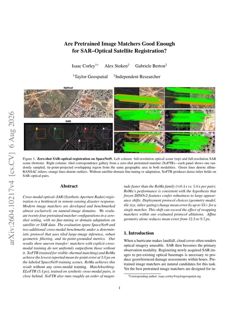 CVPR IMW · 2026
Are Pretrained Image Matchers Good Enough for SAR-Optical Satellite Registration?
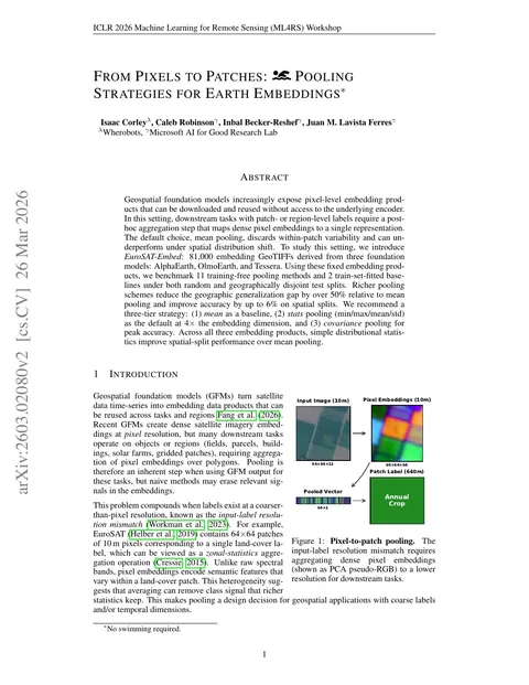 ICLR ML4RS · 2026
From Pixels to Patches: Pooling Strategies for Earth Embeddings
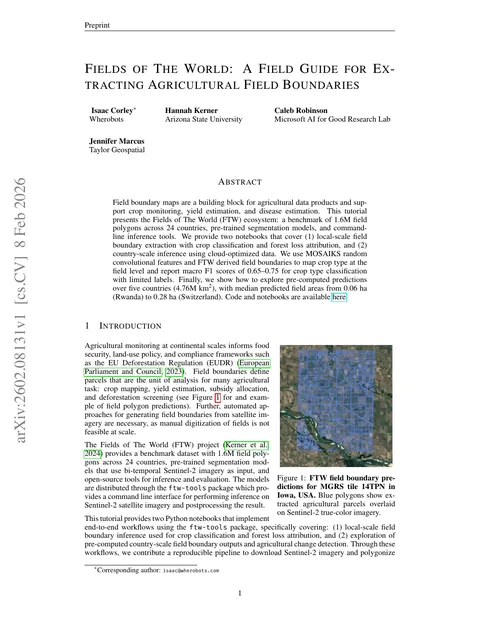 ICLR ML4RS · 2026
Fields of The World: A Field Guide for Extracting Agricultural Field Boundaries
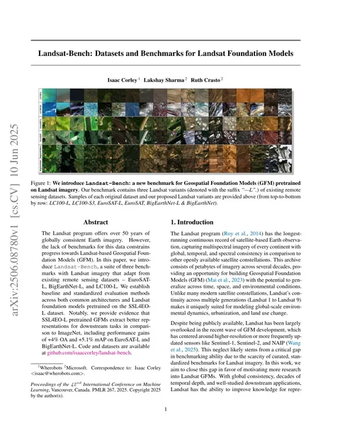 ICML TerraBytes · 2025
Landsat-Bench: Datasets and Benchmarks for Landsat Foundation Models
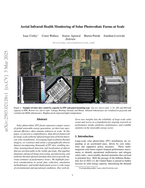 CVPR PBVS · 2025
Aerial Infrared Health Monitoring of Solar Photovoltaic Farms at Scale
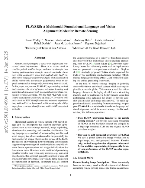 WACV CV4EO · 2025
FLAVARS: A Multimodal Foundational Language and Vision Alignment Model for Remote Sensing
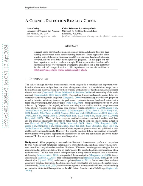 ICLR ML4RS · 2024
A Change Detection Reality Check
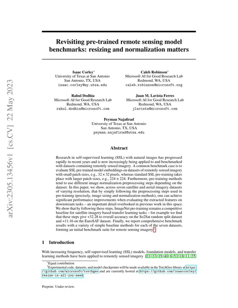 CVPR PBVS · 2024
Revisiting pre-trained remote sensing model benchmarks: resizing and normalization matters
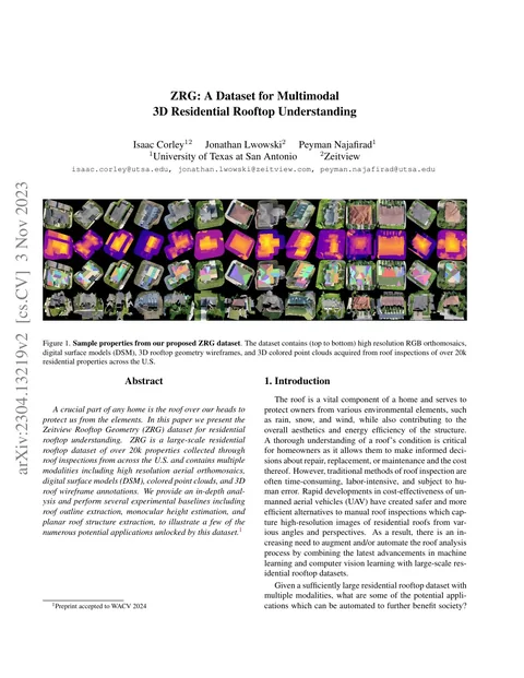 WACV · 2024
ZRG: A Dataset for Multimodal 3D Residential Rooftop Understanding
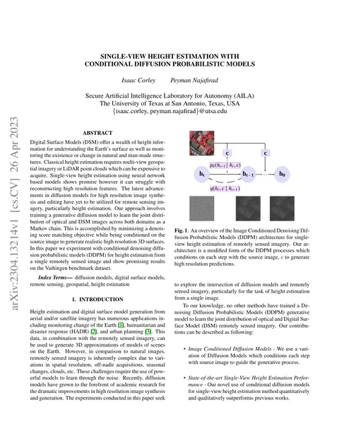 Preprint · 2023
Single-View Height Estimation with Conditional Diffusion Probabilistic Models
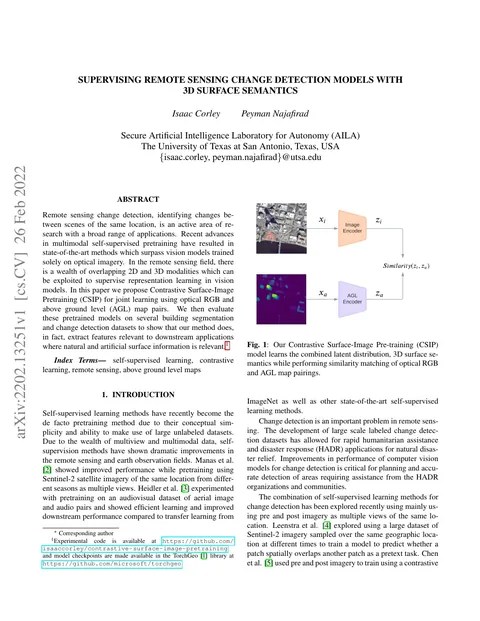 IEEE ICIP · 2022
Supervising Remote Sensing Change Detection Models with 3D Surface Semantics
 Preprint · 2019
Destruction of Image Steganography using Generative Adversarial Networks
 Preprint · 2019
DomainGAN: Generating Adversarial Examples to Attack Domain Generation Algorithm Classifiers
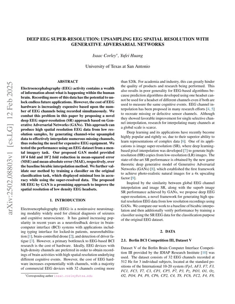 IEEE BHI · 2018
Deep EEG Super-Resolution: Upsampling EEG Spatial Resolution with Generative Adversarial Networks
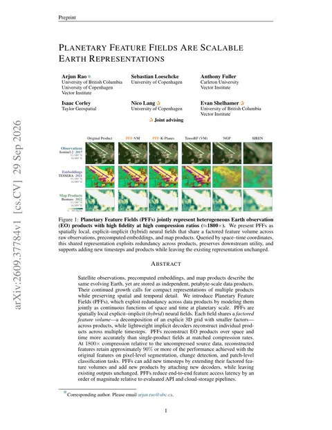 Preprint · 2026
Planetary Feature Fields are Scalable Earth Representations
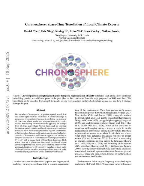 Preprint · 2026
Chronosphere: Space-Time Tessellation of Local Climate Experts
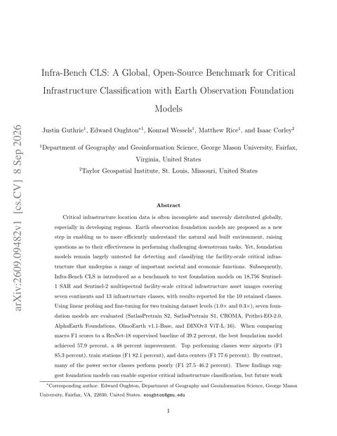 Preprint · 2026
Infra-Bench CLS: A Global, Open-Source Benchmark for Critical Infrastructure Classification with Earth Observation Foundation Models
 Preprint · 2026
Beyond Accuracy: Assessing Calibration of Geospatial Foundation Models and Their Sensitivity to Distribution Shifts
 ACM SIGSPATIAL · 2026
HeatCast: A Benchmark for Neighborhood-Scale LST Forecasting across 124 U.S. Cities
 Book Chapter Preprint · 2026
Earth Embeddings
 Preprint · 2026
The first global agricultural field boundary map at 10m resolution
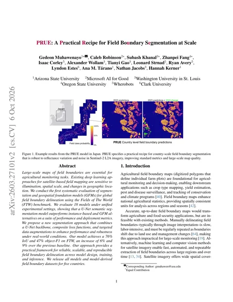 CVPR · 2026
PRUE: A Practical Recipe for Field Boundary Segmentation at Scale
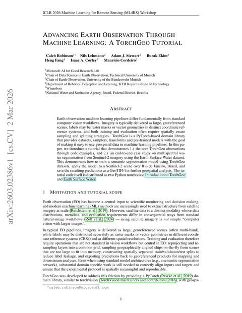 ICLR ML4RS · 2026
Advancing Earth Observation Through Machine Learning: A TorchGeo Tutorial
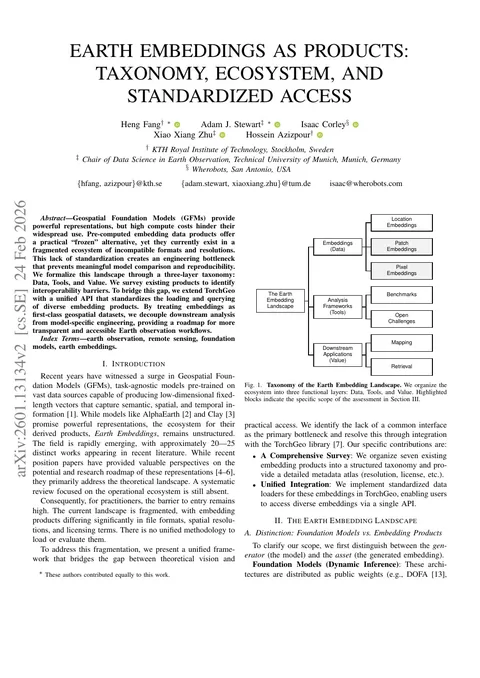 IEEE IGARSS · 2026
Earth Embeddings as Products: Taxonomy, Ecosystem, and Standardized Access
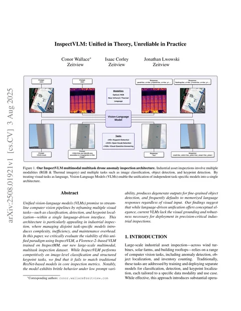 ICCV VISION · 2025
InspectVLM: Unified in Theory, Unreliable in Practice
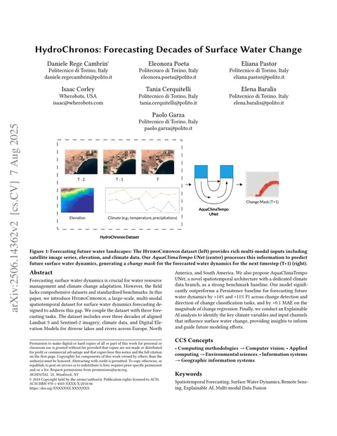 ACM SIGSPATIAL · 2025
HydroChronos: Forecasting Decades of Surface Water Change
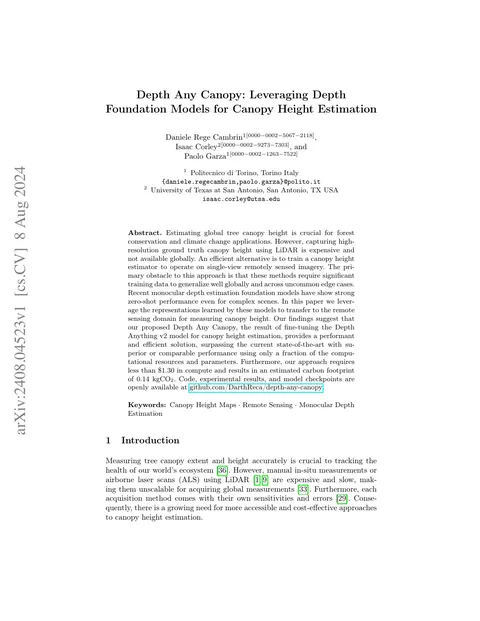 ECCV CV4E · 2024
Depth Any Canopy: Leveraging Depth Foundation Models for Canopy Height Estimation
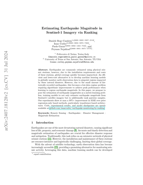 ECML-PKDD MACLEAN · 2024
Estimating Earthquake Magnitude in Sentinel-1 Imagery via Ranking
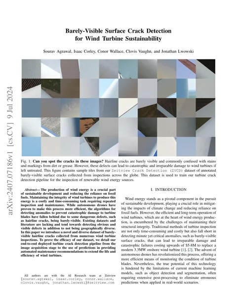 IROS · 2024
Barely-Visible Surface Crack Detection for Wind Turbine Sustainability
 Preprint · 2024
Seeing the roads through the trees: A benchmark for modeling spatial dependencies with aerial imagery
 ICLR CCAI · 2023
Solar Panel Mapping via Oriented Object Detection
 NeurIPS · 2023
SSL4EO-L: Datasets and Foundation Models for Landsat Imagery
 ACM SIGSPATIAL · 2022
TorchGeo: Deep Learning With Geospatial Data
Open-source leadership
Bexar’s founder maintains TorchGeo and Segmentation Models PyTorch, libraries for building and evaluating AI and Computer Vision systems. He also develops advanced production tooling for data pipelines and model deployment on high-performance compute clusters.
Geospatial intelligence
Earth retrieval
Terrabit uses compact binary earth embeddings to retrieve similar satellite imagery in the browser.
Explore the proof of concept ↗